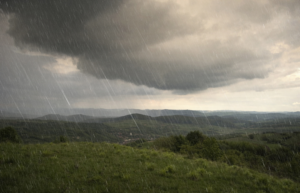


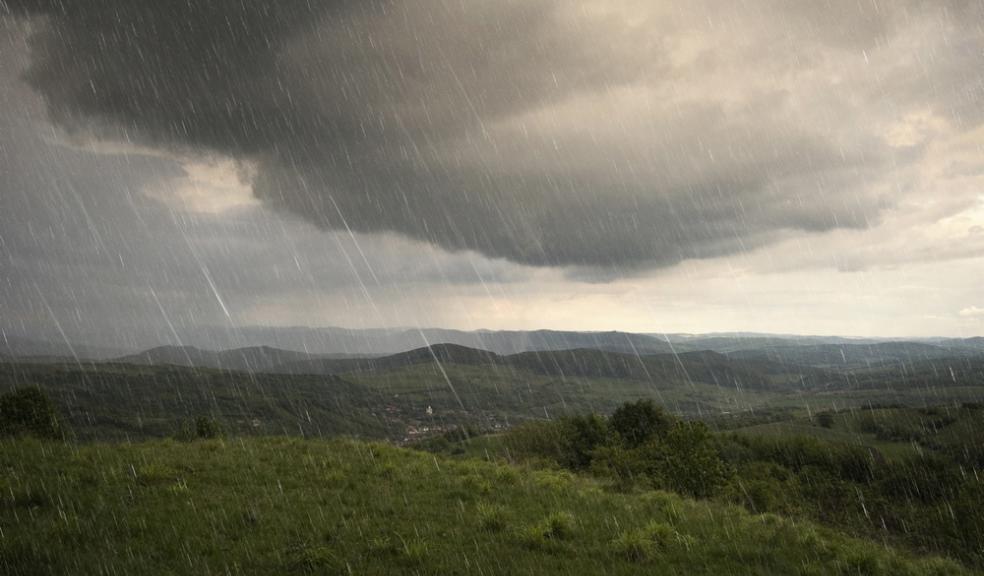
If you thought you'd seen the last of the rain, think again
Forecasters are warnng of possible icy patches again tomorrow morning as temperatures dip.
And if you thought you'd seen the last of the rain, think again.
Bookmakers William Hill cut the odds of 2014 being the wettest year on record from 8/1 to 6/1.
Yesterday the Environment Agency said 148 flood alerts and 11 more serious flood warnings were in place.
Somerset council declared a ‘major incident’ for flooded areas. The authority has provided a boat service for the communities of Muchelney and Thorney, whose access roads have been cut off since January 2.
Meanwhile, the BBC reported that a ‘mini-tornado’ swept through Surrey and Sussex, bringing down trees and lifting cats in the air.
It reportedly hit Chobham, Surrey, at 5pm on Saturday.
Local resident Shirley Blay told BBC News: "‘We've got four feral cats in the yard and they were being lifted off the ground - they just went round like a big paper bag."
The Met Office forecast is as follows.
Today:
Icy stretches are possible first thing, otherwise it will be fairly windy with scattered showers and sunny spells. Showers could be heavy at times and possibly thundery. Maximum Temperature 8 °C.
Tonight:
Scattered, heavy showers will continue overnight and it will remain breezy. Clear spells are likely and it may be cold enough for icy stretches. Minimum Temperature 2 °C.
Tuesday:
Little overall change with sunny intervals and scattered showers likely to continue. Showers may be heavy at times but winds should become lighter. Maximum Temperature 8 °C.
Outlook for Wednesday to Friday:
Showers or longer spells of rain spreading westwards on Wednesday. Brighter on Thursday with light winds but feeling cold. Slowly turning wet and windy on Friday.
The public is advised to take extra care, further information and advice can be found here: http://www.metoffice.gov.uk/weather/uk/links.html