


Storms and heavy rain to hit Devon
The Met Office has issued a yellow weather warning as we start the new week.
Periods of rain and strong winds will affect the South West later today (Monday), with the rain becoming particularly heavy at times on Tuesday before clearing during Wednesday morning.
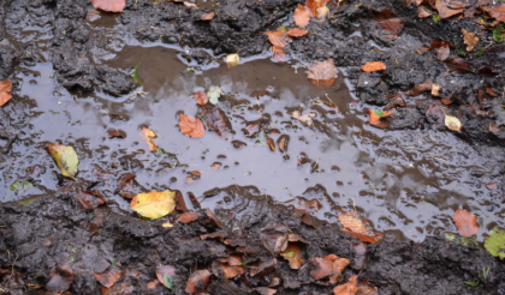
There is a risk of localised flooding, exacerbated by fallen leaves blocking drainage courses.
The agency’s Chief forecaster said: “An active frontal system associated with an Atlantic depression will push in from the west later on Monday. This front will become slow-moving, allowing pulses of heavy and sometimes thundery rain to spread northwards across south west England and South Wales before finally clearing northeastwards on Wednesday.
“Precise timings of these periods of heavy rain remain uncertain, and there are also likely to be some drier intervals within this warning period.
“The strong southerly winds, reaching gale force in places, will enhance rainfall over south-facing slopes and hills, where totals of more than 60mm in 36 hours are likely. 20-40 mm will fall more widely.
“The rainfall is likely to cause some minor flooding from either surface water or from rivers.”
Forecast for Tuesday:
A rather cloudy and wet day, with further outbreaks of rain, which are likely to be heavy in places. It will remain quite breezy, especially in the east. Maximum Temperature 13C.
Outlook for Wednesday to Friday:
Remaining unsettled and often windy, with showers or longer spells of rain, these locally heavy at times. However a brief drier spell is likely on Thursday. Temperatures around average.

 receives MAT Excellence Award for IMP Software.")