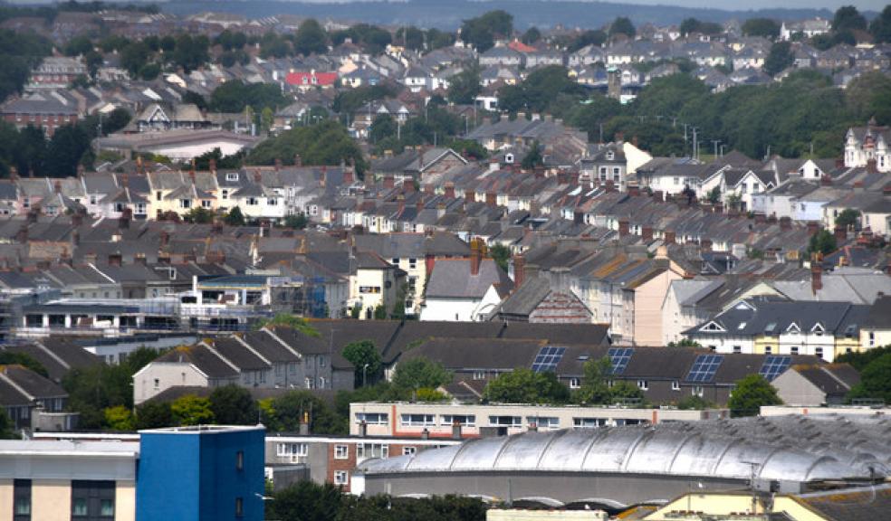
Part Two of Plymouth Plan now underway
People across Plymouth are being asked where new homes could be built as the next phase of the Plymouth Plan gets underway.
Residents are being asked to take a good look at their own neighbourhood, as well as the city as a whole, to look at what land could be set aside for homes, for offices and work units and which green spaces they feel need to be improved or protected.
Part One of the Plymouth Plan – which has now been adopted – sets out what the city should be like by 2031. Now Part Two is asking the question where and how this should be.
To help make it easier for people to comment, the city has been divided into eight areas and the Council has put together a toolkit that gives people a breakdown of what people need to think about.
The Council is hoping community groups will help start conversations across the city and use the toolkit for lively discussions about what is important to residents.
The toolkit provides a snapshot for each of the eight areas, so that people can get feel for what may be needed in the future. It includes statistics and facts so that they can see:
• How their neighbourhood health care facilities compare to others?
• If their neighbourhood has its fair share of open space?
• If people who live in that area are healthy?
• If there is a crime problem?
• Whether the area has good public transport links?
• Whether there are enough affordable homes in the area?
Cabinet member for Strategic Transport and Infrastructure, Councillor Mark Coker said: “This is where we get to the nitty-gritty. This is about applying the goals of how we want this city to reach its potential and where we need to build homes, create jobs and improve people’s health and opportunities.
“We all recognise that new homes are needed, we all know that roads have to be planned and built and that there is so much more to do before we have a city where we all enjoy the same outstanding quality of life.”
The toolkit that looks at the north of Plymouth for instance, highlights it as a place where the Council hopes to see more homes, more businesses and with the right roads and facilities to make it a great place to live.
Classified as a growth area, it already plays a key role in the city’s economy. Home to the Tamar Science Park and the Plymouth International Medical and Technology Park, the University College of St Mark and St John and Derriford Hospital, it has the best public transport links in the city after the city centre, great access to job opportunities and has seen new schools built there.
The Plymouth Plan believes this area could provide 4,300 new homes, while also providing a new district centre to serve the north of the city with shops, community and leisure facilities. All of these would need the right infrastructure. It also includes plans to create a country park based around the Forder Valley.
The toolkit contains statistics on the people who here:
• 2 in 10 children in this area live in poverty
• 12.2 per cent of its residents are carers
• 10.6 per cent take the bus to work
• 72 per cent of homes have play space within 600 metres
• nearly 3 in 10 pupils here are classed as obese
• 9.7 per cent of adults smoke
It also includes comments from local people made during the first phase of the Plymouth Plan. Residents highlighted a number of local issues including:
• traffic and car parking
• poor public transport links in some parts of the north of the city
• lack of affordable housing
• the safeguarding of land at Plymouth airport
Visit www.theplymouthplan.co.uk for more information.
Photo: © Copyright Lewis Clarke and licensed for reuse under this Creative Commons Licence.


